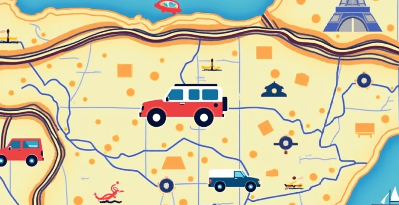
Embarking on a road trip across the Iberian Peninsula and into France is an adventure of a lifetime. The diverse landscapes, rich cultures, and historic sites make this region a traveller’s paradise. However, navigating such vast and varied terrain requires careful planning and the right tools. A comprehensive map of Portugal, Spain, and France is your key to unlocking the full potential of your journey. Let’s explore how to make the most of your cartographic companion and ensure a smooth, memorable expedition through these captivating countries.
Decoding cartography: essential map features for iberian peninsula navigation
Understanding the intricacies of your map is crucial for efficient navigation. Modern maps of the Iberian Peninsula and France come packed with features designed to enhance your travel experience. Pay close attention to the legend, which decodes symbols representing everything from petrol stations to points of interest. Familiarize yourself with the scale to accurately gauge distances between destinations. Many maps also include topographical information, helping you anticipate challenging terrain or scenic viewpoints.
Look for maps that highlight major highways and secondary roads . In Spain, for instance, the AP prefix denotes toll motorways, while A roads are free motorways. Similarly, in France, A roads are autoroutes, often with tolls. Portugal’s main highways are denoted by A or IP . Understanding these designations will help you plan your route according to your preferences for speed or scenic drives.
Don’t overlook the importance of border crossings . While the Schengen Agreement has largely eliminated border controls between these countries, it’s still wise to be aware of crossing points, especially if you’re planning to traverse the Pyrenees between Spain and France.
Route planning strategies across portugal, spain, and france
Effective route planning is the backbone of any successful road trip. When mapping your journey across these three countries, consider a mix of efficiency and exploration. Start by identifying your must-visit destinations and plot them on your map. Then, look for interesting stops or detours along the way that can enrich your travel experience without derailing your itinerary.
Utilizing the via de la plata for North-South traversal
The Via de la Plata, an ancient Roman road, offers a fascinating north-south route through western Spain. This historical pathway connects Seville in the south to Gijón in the north, passing through cities like Mérida and Salamanca. Incorporating this route into your trip provides a unique perspective on Spain’s diverse regions and rich history.
Navigating the camino de santiago network
The Camino de Santiago, a network of pilgrimage routes, crisscrosses the Iberian Peninsula and extends into France. Even if you’re not planning a pilgrimage, these well-marked paths can guide you through some of the most picturesque and culturally significant areas of the region. The French Way, starting in Saint-Jean-Pied-de-Port and ending in Santiago de Compostela, is particularly popular and well-documented on most maps.
Coastal routes: following the atlantic and mediterranean seaboards
For those drawn to coastal scenery, planning a route along the Atlantic or Mediterranean coasts can be rewarding. In Portugal, the EN125 hugs the Algarve coastline, offering stunning ocean views. Spain’s Costa del Sol and Costa Brava provide similar Mediterranean charm, while France’s Côte d’Azur is renowned for its glamorous resorts and azure waters.
Cross-border considerations: schengen area implications
While Portugal, Spain, and France are all part of the Schengen Area, it’s wise to keep your passport handy. Although formal border checks are rare, authorities can still conduct spot checks. When planning cross-border routes, factor in potential delays during peak travel seasons, especially at popular crossing points like La Jonquera between Spain and France.
Key regions and landmarks for itinerary development
A well-crafted itinerary balances famous landmarks with hidden gems. Your map should highlight major cities and renowned attractions, but don’t hesitate to venture off the beaten path. Look for symbols indicating national parks, UNESCO World Heritage sites, or local points of interest that might not be as well-known but offer authentic experiences.
Portugal’s algarve to spain’s costa del sol: coastal highlights
The southern coasts of Portugal and Spain offer a sun-soaked journey from the Algarve’s dramatic cliffs to the Costa del Sol’s bustling resorts. Key stops might include Faro, Seville, and Málaga. Use your map to identify smaller coastal towns like Tavira or Nerja for a more laid-back experience.
Central spain: madrid to barcelona corridor
The route between Spain’s two largest cities is rich with cultural and historical significance. Your map should highlight stops like Zaragoza, with its impressive Basilica of Our Lady of the Pillar, or the medieval city of Sigüenza. Look for symbols indicating wine regions like Cariñena for potential detours.
French connections: pyrenees to provence
Crossing from Spain into France, the Pyrenees offer breathtaking mountain scenery. Use your map to plot a route through charming towns like Foix or Perpignan before heading into the lavender fields of Provence. Pay attention to elevation markers to anticipate challenging mountain passes.
Digital mapping tools and GPS integration for enhanced navigation
While physical maps provide an excellent overview and backup, integrating digital tools can enhance your navigation experience. Many modern GPS devices and smartphone apps offer real-time traffic updates, alternative routes, and points of interest that may not be visible on your physical map.
Consider using apps like Google Maps or Waze for up-to-date information, but don’t rely solely on digital tools. Remote areas may have poor signal coverage, and battery life can be a concern on long drives. A combination of digital and physical navigation tools ensures you’re prepared for any situation.
Remember, the joy of a road trip often lies in the unexpected discoveries along the way. While digital tools are invaluable for efficiency, don’t let them overshadow the serendipitous experiences that come from exploring with a traditional map.
Some digital mapping tools allow you to create custom routes and save offline maps, which can be particularly useful when traveling through areas with limited connectivity. Take the time to familiarize yourself with these features before your trip to maximize their utility on the road.
Topographical challenges: mountain passes and alternative routes
The diverse terrain of Portugal, Spain, and France presents both challenges and opportunities for road trippers. A good map will help you anticipate and plan for topographical variations, ensuring you’re prepared for mountain passes, coastal drives, and everything in between.
Navigating the picos de europa in northern spain
The Picos de Europa mountain range offers some of the most dramatic scenery in northern Spain. Your map should highlight key routes like the Cares Trail or the road to the Lagos de Covadonga . Pay close attention to elevation changes and look for alternative routes in case of adverse weather conditions.
Traversing the pyrenees: col du tourmalet and beyond
The Pyrenees present a formidable yet rewarding challenge for road trippers. The Col du Tourmalet, famous from the Tour de France, is a must-drive for cycling enthusiasts. Use your map to identify other notable passes like Portalet or Somport, and plan your route to include rest stops and viewpoints.
Portugal’s serra da estrela: High-Altitude road trip considerations
Portugal’s highest mountain range, Serra da Estrela, offers unique high-altitude driving experiences. Your map should indicate the winding road to Torre, the highest point in continental Portugal. Look for symbols indicating ski resorts, which can be interesting summer destinations for hiking and panoramic views.
When planning routes through mountainous regions, always check for seasonal road closures or restrictions. Some high-altitude passes may be closed during winter months or require special equipment like snow chains.
Seasonal considerations and Weather-Dependent route adjustments
The weather can significantly impact your road trip experience, and conditions can vary dramatically across these three countries. While your map won’t show real-time weather, it can help you plan for seasonal variations and potential weather-related challenges.
In summer, coastal routes along the Mediterranean can become congested with holiday traffic. Your map can help you identify alternative inland routes that might be less crowded. Look for symbols indicating beaches or coastal towns to plan strategic stops for cooling off.
Winter brings its own set of challenges, particularly in mountainous regions. Pay attention to elevation markers on your map and research which routes might require winter tires or chains. In northern Spain and the Pyrenees, some mountain passes may be closed entirely during winter months.
Spring and autumn can be ideal for road tripping, with milder weather and fewer crowds. Use your map to identify regions known for seasonal attractions, such as the cherry blossoms in Jerte Valley, Spain, or the autumn wine harvests in France’s Bordeaux region.
Flexibility is key when road tripping across diverse landscapes. Always have a backup route planned and be prepared to adjust your itinerary based on weather conditions or unexpected closures.
By mastering the art of map reading and combining it with modern navigation tools, you’re well-equipped to embark on an unforgettable journey through Portugal, Spain, and France. Remember that while your map is an invaluable guide, the true essence of a road trip lies in the experiences you’ll have along the way. So keep your eyes on the road, but don’t forget to look up and soak in the breathtaking landscapes and rich cultures that surround you.